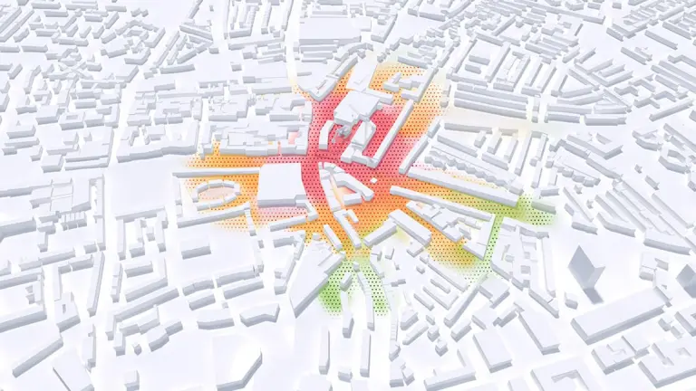
The cloud-based “air quality dispersion modeling” service permits tailored and sustainable measures at hotspots subject to increased emissions. This 3D simulation makes it possible to incorporate local emission sources, e.g. resulting from traffic, in a model at a resolution of down to 5 meters. Taking consideration of local urban development as well as current weather conditions, the dispersion calculation model can also be used for an entire urban area.
Detailed
Comprehensive dispersion of emissions, depending on the prevailing urban development
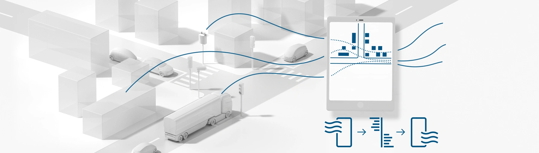
Integratable
Data from air quality monitoring boxes and/or the environmentally sensitive traffic management for increased performance
Microscopic
Real-time simulation of an entire urban landscape at a resolution of down to 5 meters
Analysis function
Identification of emission sources, as well as air quality value forecasts